Great hikes from the heart of the Southern Appalachian Mountains
Aside from their boundless beauty and opportunity, one of the most magnificent things about our American national forests is our shared responsibility to take care of them. At SELC, we’ve been doing our part to conserve and protect these public lands in the South for more than 30 years.
While that means we know a lot about the laws and projects relating to our national forests, it also means our hiking boots have covered a lot of ground in the Southern Appalachian Mountains, and we’ve had the chance to explore some of our region’s most rewarding trails and views.
The Southern Appalachians are a premiere destination for escape, exploration, and adventure. Spanning millions of acres from Virginia to Alabama, the national forests and parks that blanket them are the largest continual track of public lands east of the Mississippi River. With more than half of the U.S. population living within an eight-hour drive of Southern Appalachia, this area's iconic trails and peaks offer abundant opportunities for hiking, camping, fishing, sightseeing, picnicking, swimming and loads of other outdoor activities.
And they’re not just places that humans appreciate, but incredible habitat for the flora and fauna that makes this region so special.
As winter turns to spring, many outdoor enthusiasts are mapping out the trails they can’t wait to hit first—us included. Here are a handful of our favorite hikes exploring some of the most special wild and scenic places in the Southern Appalachians.
We hope to see you out there.
Art Loeb Trail. (©Steven Reinhold)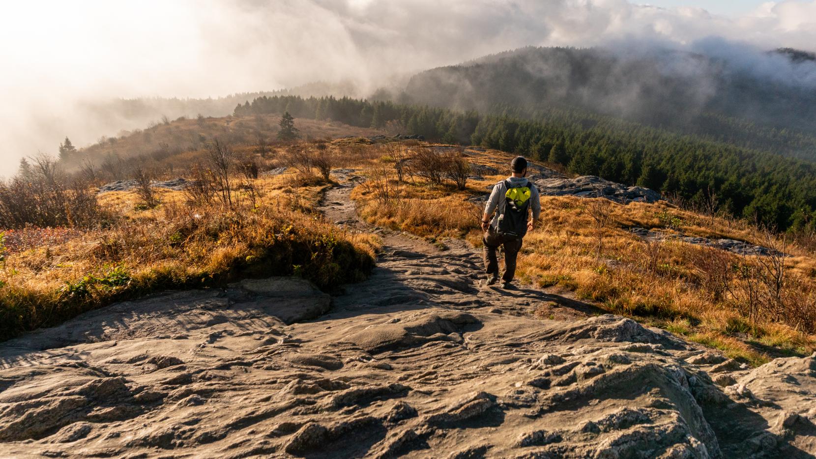
Art Loeb Trail from Black Balsam Knob to Cold Mountain
Pisgah National Forest, NC
This long and challenging out-and-back trail rewards hikers’ perseverance and endurance with spectacular views from the ridgeline of Cold Mountain. It’s a technical and demanding six-hour hike through diverse forestland, with lots of water crossings, rocky terrain and some steep elevation changes. The trail takes hikers through parts of the Shining Rock Wilderness, North Carolina’s largest wilderness area. Hikers familiar with the trail warn that the descent can be even more difficult than the ascent. There are campsites along the trial for those who prefer backpacking to a day trip.
Rhododendron Trail.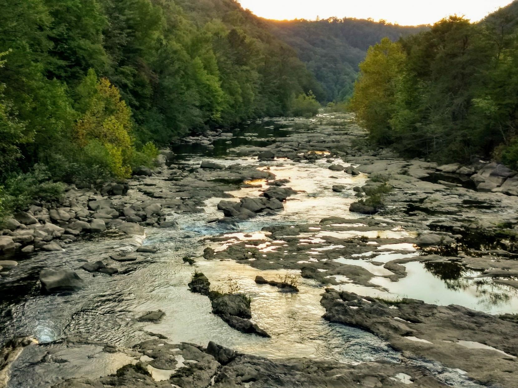
Rhododendron Trail
Cherokee National Forest, TN
This path is perfect for folks of all ages and skill levels who wish to hike by the Cherokee National Forest’s Ocoee River, where mountain runoff creates the appearance of small cascades. While the trail serves as a connection between the Ocoee Whitewater Center—where the 1996 Olympic rafting trials took place—and Thunder Rock Campground, it’s only about 1.5 miles one-way, and an easy access point to see native plants, pools filled with tadpoles and wildflowers, and a glimpse of the nearly extinct American Chestnut. And if you’re in the mood for something more challenging, you can also try out the 10-mile Ocoee River Loop that’s accessible from the campground.
Chattooga Trail. (©Steven Reinhold)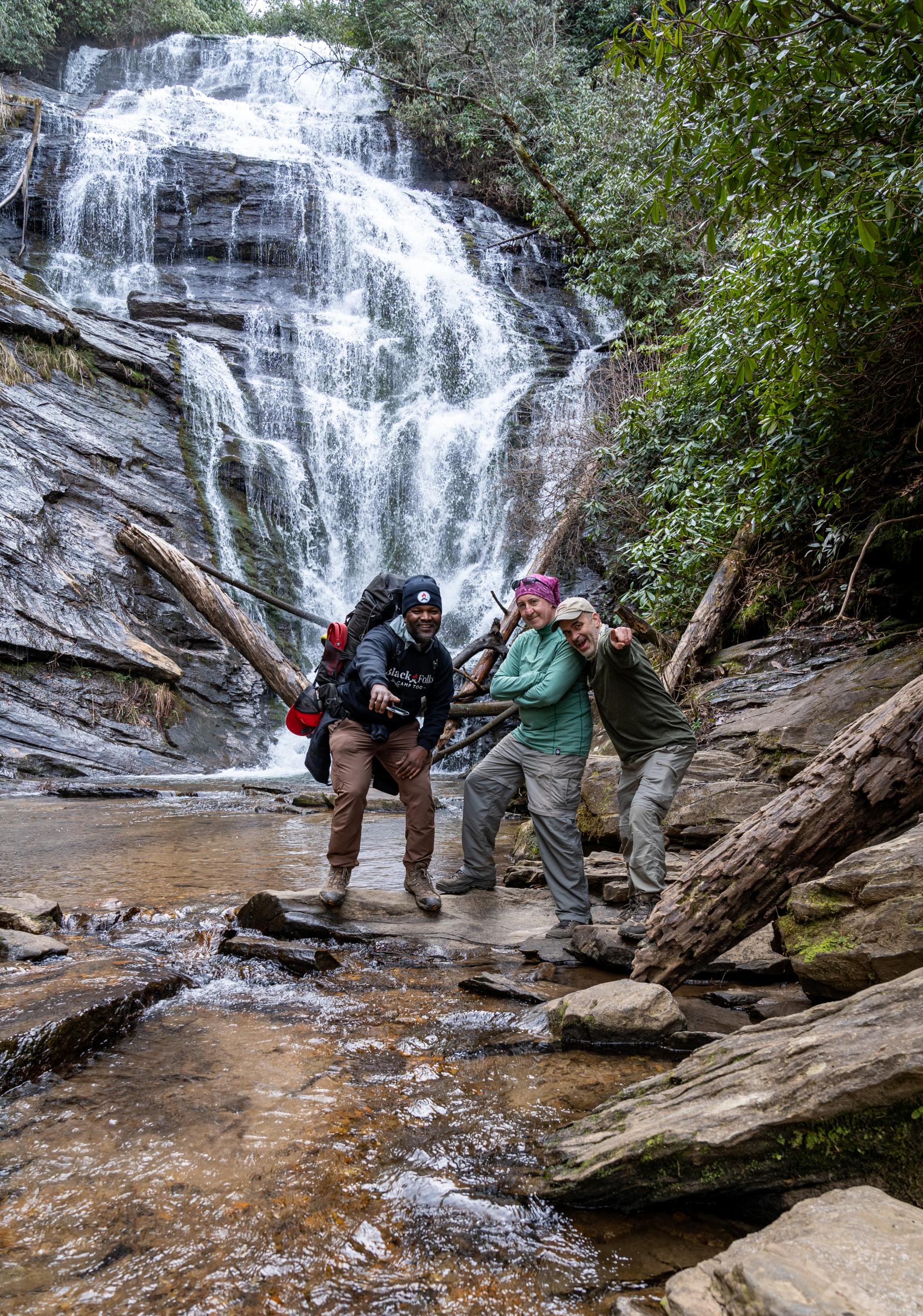
Chattooga River Trail
Chattahoochee National Forest, GA/Sumter National Forest, SC
This trail follows its namesake along its entire length, with plenty of great views of the river and waterfalls, accompanied by the constant sound of water flowing. The trail goes through Ellicott Rock Wilderness, a historic wild area named after the surveyor who Thomas Jefferson sent to map the location where North Carolina, South Carolina and Georgia meet. The 8-mile out-and-back trek is moderately difficult, with plenty of camping spots. The river offers lots of places to cool off or do some fly fishing. Rhododendrons line many parts of the trial, making it a great place to visit during the summer blooms.
Shenandoah Mountain, (©Ashley Rae Neil)
Shenandoah Mountain
George Washington National Forest, VA
If you want a short, relatively easy hike with an amazing payoff, this trek to High Knob Fire Tower is for you. This one-and-a-half mile hike on Shenandoah Mountain brings you to the historic fire detection tower, built by the Civilian Conservation Corps and World War I veterans, and renovated in 2003. It is the only stone fire tower in Virginia, and it offers unmatched 360-degree views of forested mountains in Virginia and West Virginia. The tower can also be reached via a trail from the Brandywine Campground — but that is a far steeper and more difficult hike. For more information, click here.
Old Rag Mountain, (©Julia Rendleman)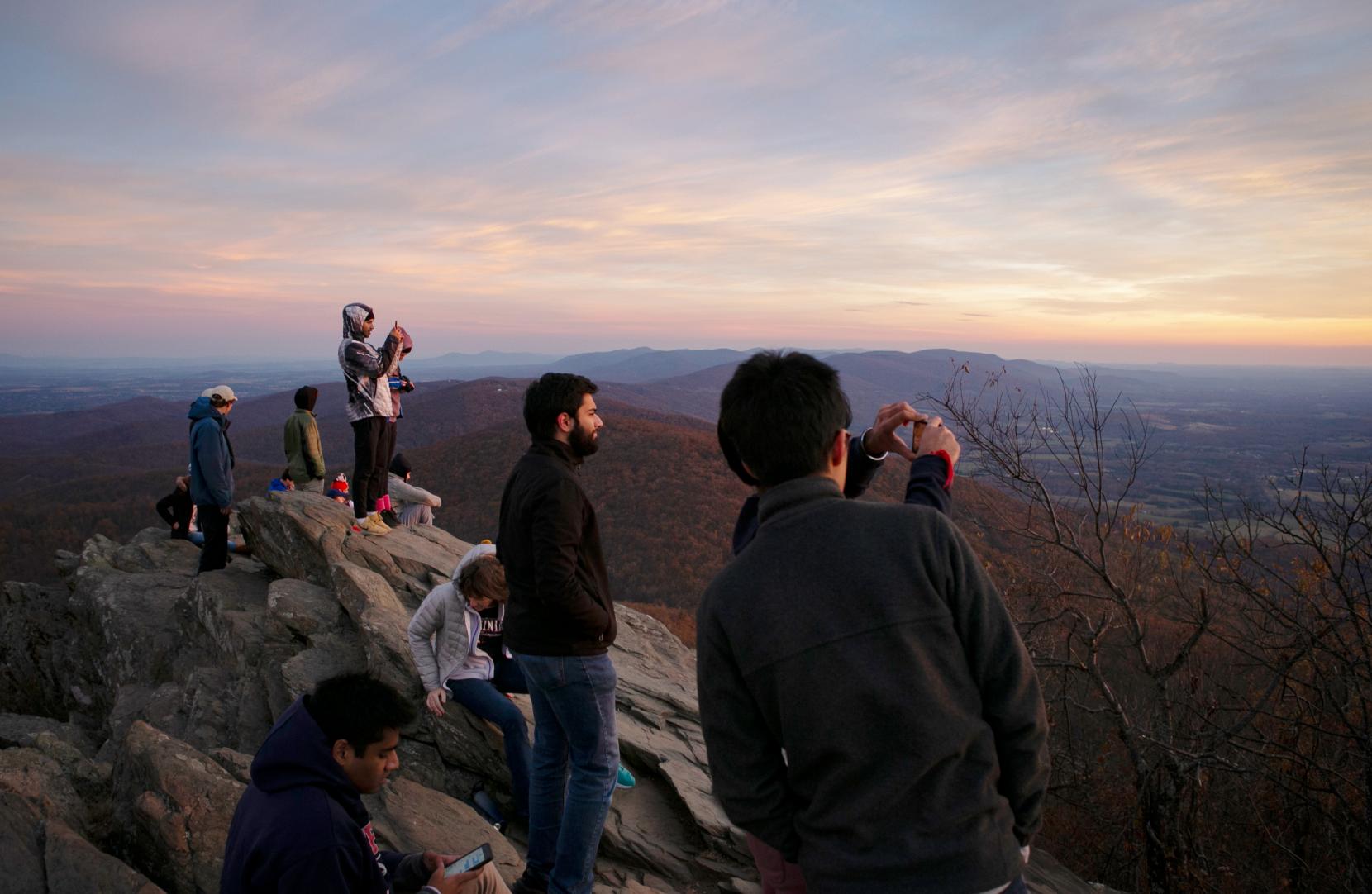
Old Rag Mountain
Shenandoah National Park, VA
The Old Rag Mountain hike isn’t for everyone. Though it is an extremely popular hike in Virginia’s Shenandoah National Park, this 9-mile loop is extremely steep and challenging and includes a lengthy rock and boulder scramble. Rescues of injured or dehydrated hikers are not uncommon. It’s very important to make sure that you are well-prepared and physically fit enough to make it to the summit. The hike can take eight hours or more, so make sure you have a headlamp unless you get a very early start. From the summit, you’ll have a wonderful view of Shenandoah National Park, a portion of which is protected wilderness. On the way down, you’ll pass Post Office Junction, where the village of Old Rag and its post office were located before Shenandoah National Park was established.